High Res Aerials from Google? At last?
Word has it that Googlemaps and Google Earth finally have
decent satellite images of Brum. So let's see...

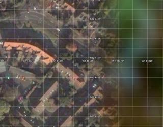
This is the Google map for Moseley. There's some gray on the left, and some blurry imagery in the middle, and some crisp imagery on the right. Moseley is somewhere in that middle bit. Something tells me that this isn't the high-resolution photography that one could reasonably expect. Maybe they haven't quite got that far along in the list of updates.
Now let's look at Google Earth, and specifically at the National Geographic layer:
That blurry bit on the right? It's what was in the centre on the previous image. The NatGeo layer doesn't extend far enough to the east.

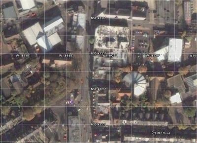
On the left, a satellite view of the junction at St. Mary's Row, Wake Green Road and Church Road, with the parade of shops very prominent, and a car. Impressive! So, aside from the fact that there's still a blurry bit to the east, the NatGeo layer is a welcome addition.
Now lets see if we can spot any tornado damage. SInce the Moseley damage is over in the blurry bit, we'll have to go south to look for signs of its passage.

This is Kings Heath at the junction of Vicarage Road and the High Street. Tornado damage occurred on the trees around the church, and on the roof of the Greggs Bakery shop. That roof is intact in this photo, while the trees are not distinct enough to judge. But I reckon this photo pre-dates the tornado. Isn't the new school building across from Iceland about a year old? Definitely more recent than when that car park was a boarde up derelict lot.
Now let's see if we can spot some people.
Take a look at the around the Bullring:

They're down there. Little specks. Are you one of them? Not many folk down there. But it's a glorious sunny day. I'd expect to see loads of people on a week end. Probably not a Saturday. Sun is pretty much due south. Must be late morning or early afternoon. Trees are in leaf. Not a lot of traffic, aside from the 3 buses queued at the Veg Market. So when is it?
Moving around on Google Earth, looking at St. Philip's Cathedral, Aston Expressway, Edgbaston Cricket Ground, playing fields south of Cannon Hill, it all seems pretty vacant. Definitely not many cars travelling around. Where else should I look for signs of activity? Box store parking lots? Maybe I should zoom up to Wednesbury and look at the Ikea. Hmm.


0 Comments:
Post a Comment
<< Home