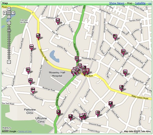
Moseley (Small) Circle

The first Moseley Circle is substantially complete. All the southern roads are snapped and tagged, and a few key roads in the north. I still need to get over to Park Hill, Alcester Road, Trafalgar Road and Kingswood Road. Once that's done I'll have drawn a circle (some 4640' in diameter and 2.76 miles in circumference) around Moseley, and mapped it with photographs. Each of the points is selected on the basis of where a circle crosses a public road, and each point is photographed looking toward Moseley crossing (or as near as I can guess). The images are uploaded to Flickr, then geotagged so that they appear on geobloggers and Google Earth (with the circle centred near 52.446455,-1.88825).


